
TL;DR
Listen free for 30 days with Audible
Thousands of audiobooks and originals — cancel anytime.
Start your free trialAs an affiliate, we earn on qualifying purchases.
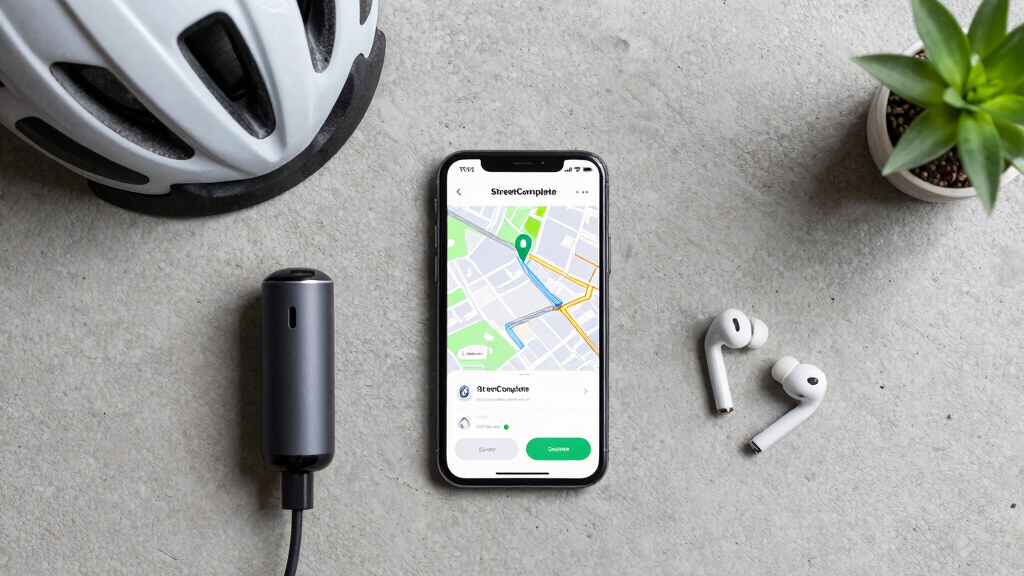
StreetComplete is a mobile application that encourages users to contribute to OpenStreetMap by completing small, guided quests. This approach aims to improve map data accuracy and expand community participation. The development is ongoing, with positive user feedback and plans for further features.
StreetComplete is a mobile app that simplifies contributing to OpenStreetMap by guiding users through small, specific tasks called quests. The app’s design aims to lower the barrier for new contributors and improve map data quality, with recent updates increasing its popularity among volunteers.
Developed by a community of open-source contributors, StreetComplete offers a user-friendly interface that presents users with straightforward questions about local features, such as street names, building details, and amenities. When users answer these quests, their inputs are directly integrated into OpenStreetMap, a collaborative global mapping project. Since its initial release, the app has seen growing adoption, especially among casual mappers who find traditional editing interfaces intimidating. The developers report that the app has contributed thousands of new data points and corrections, enhancing map accuracy in underserved areas. The app is available on Android, with an iOS version under development. Recent updates have added new quest types and improved data validation features, aiming to further streamline contributions and reduce errors.Why Small Contributions Matter for Global Mapping
StreetComplete represents a shift in how volunteers contribute to OpenStreetMap, emphasizing accessibility and incremental improvements. By breaking down complex editing tasks into manageable questions, it encourages wider participation, including from those unfamiliar with traditional editing tools. This approach can significantly enhance map coverage, especially in remote or under-mapped regions, supporting applications like navigation, disaster response, and urban planning. The app’s success highlights the importance of user-friendly tools in open data projects, potentially influencing future development strategies for collaborative mapping efforts.
As an affiliate, we earn on qualifying purchases.
Growth of User-Friendly Tools for OpenStreetMap Contributions
OpenStreetMap has grown into a vital resource for mapping global infrastructure, but its success depends heavily on volunteer contributions. Traditional editing requires familiarity with complex interfaces and tagging conventions, which can limit participation. Recognizing this, developers have created various tools to lower entry barriers, including StreetComplete, which debuted in 2018. Since then, the app has been adopted by a growing community of casual mappers, especially in regions where official mapping resources are scarce. Recent updates and increased user engagement suggest a trend toward more accessible editing options, potentially democratizing map creation and maintenance.
“Our goal was to make contributing to OpenStreetMap as simple as answering a few questions. The positive response shows that many people want to help improve the map but need a straightforward way to do so.”
— Alex Barth, developer of StreetComplete
As an affiliate, we earn on qualifying purchases.
Unclear Long-Term Impact and Adoption Scope
While initial feedback is positive, it is still unclear how widely StreetComplete will be adopted in the long term across different regions and user groups. It is also uncertain how the app’s contributions will compare to those from traditional mappers over time, and whether it will significantly influence overall map quality. Developers are planning further features, but the impact of these updates remains to be seen, and the app’s role in the broader OpenStreetMap ecosystem is still developing.
As an affiliate, we earn on qualifying purchases.
Upcoming Features and Community Engagement Efforts
Developers plan to introduce new quest types, improve data validation, and expand compatibility to iOS devices. They also aim to foster greater community engagement through tutorials and outreach programs. Monitoring how these updates influence user participation and data quality will be key in assessing the app’s future role in OpenStreetMap contributions. Additionally, collaborations with local mapping communities are expected to boost adoption in underserved areas.
As an affiliate, we earn on qualifying purchases.
Key Questions
How does StreetComplete make contributing easier?
It presents users with simple, guided questions about local features, reducing the need for technical knowledge and making contributions quick and straightforward.
Is StreetComplete suitable for new mappers?
Yes, its user-friendly interface is designed specifically to encourage participation from beginners and casual contributors.
What types of data can users contribute with StreetComplete?
Users can add or update information such as street names, building details, amenities, and other features relevant to OpenStreetMap.
Will contributions from StreetComplete be as accurate as traditional edits?
The app includes data validation features, but the accuracy depends on user responses. Ongoing improvements aim to enhance data quality.
Are there plans to expand StreetComplete to iOS?
Yes, developers are working on an iOS version, which is expected to increase accessibility and user participation.
Source: hn
Flea & tick season Picks
flea and tick prevention
As an affiliate, we earn on qualifying purchases.